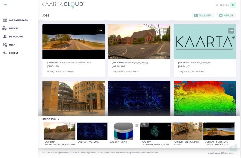
Kaarta has announced their Kaarta Cloud service. This service offloads the processing of your Kaarta Stencil, Contour, or Stencil Pro so that you can accomplish other important tasks.
You can upload your data directly from a Kaarta system or from your desktop. Kaarta Loud handles the data with their high-performance parallel-processed network.
For more information, please contact us.


